-Norman Maclean, A River Runs Through It
Where in the world is the trail? How in the world will I make it tomorrow? Wow, it sure is beautiful out here! What is around the next bend, or over the next pass? These were the thoughts that persistently occupied my mind on the first day of my attempt to run around the Wonderland Trail in three days.
My family and I arrived in the Pacific Northwest last Thursday and headed directly to just outside the Sunrise entrance to the Mt Rainier National Park. We stopped along the way at a couple of small roadside markets for vegetables and meat; the local cherries, blueberries, housemade elk jerky, kielbasa, bacon and smoked salmon were delicious highlights throughout our journey.

That night, I packed my small Nathan HPL #020 pack with some water, a squeeze filter (highly recommended at 3 oz), shotblocks, map, compass, camera, endurolytes, advil, a second garmin watch, and a pbj sandwich. That's about it. My plan for the next morning was to run from White River Campground to Cougar Rock Campground, about 30 miles and 6,000 feet of elevation gain.
The next morning I stopped in at the Sunrise Ranger station to register. After he pulled my permits he mentioned that it would be nice but "plenty of snow". I thought, sure maybe a few patches of snow. It was the end of July after all. I asked him what color the blazes were, and he responded that there are no blazes. Hmmm, that's interesting for a major trail in a national park.
At the trail head, I kissed my family goodbye and trotted off. I felt great and was super excited. Although I knew this was the best I'd physically feel for the next three days.


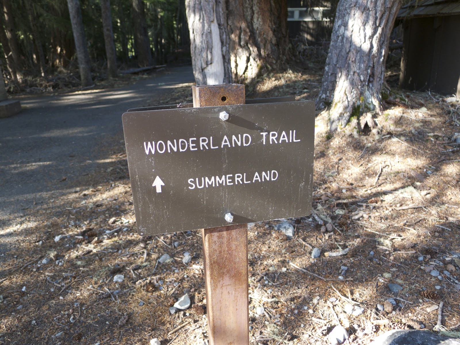


After some nice cruising trail through the forest I started climbing. I climbed up to Sumerland shelter which was just at sub-alpine level. I saw a Marmot messing around and cleaning up after previous visitors.


Very shortly after Summerland, the mountain opened up into alpine peaks, valleys, passes, bowls, couloirs....and snow. Bunches of snow. I found some faint tracks and followed them up. Within a quarter of a mile I had lost the tracks and was heading up into a big bowl. I pulled out my map for the first time (of many) and realized I was off course.

I corrected and found tracks again after about another quarter mile. I eventually passed a couple of female hikers coming the opposite direction and made my way up over Panhandle pass. Passes are always spectacular in the high mountains....never "pass" on a chance to hike to one if you are within striking distance.
 |
| Panhandle Pass |


Once over Panhandle pass the trail was completely covered in snow. I was barely able to make out a couple of hikers tracks and scrambled across. I just hoped they knew where they were going!

 |
| The Trail cuts across the snow covered expanse. One of the few hikers I passed can be seen in lower right. |


 |
| Rare Trail Above Treeline |


 |
| Long snow covered descent to Indian Bar. Slip slideee!! |


At one point during some head scratching, I passed what looked like bear droppings, and as I was trying to find trail, smelled the strong scent of a beast. It surely didn't help the nerves.


 |
| The trail descends along the ribbon of snow along the ridge. |


Stay tuned for reports on Days 2 and 3!
Trust your gut and your wife's. I mean you did do 30 miles in one day...not too shabby! I'm very inspired! Keep it up Jason. It's so fun to read this blog!! Bridget
ReplyDeleteSuperman in my book, J Han! Great post.
ReplyDeleteAwesome photos- I live close to this alpine beauty and your photos remind me to drag my family up there ASAP. Look forward to reading about day 2 and 3.
ReplyDeleteSo cool! Can't wait for the next post.
ReplyDelete